 vesseltracker.com
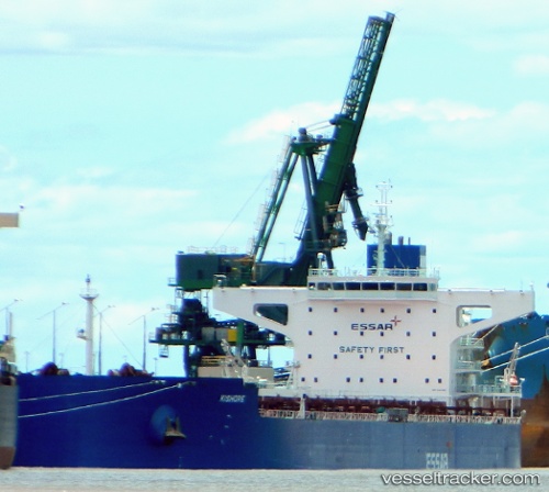
Vessel GCL NARMADA IMO: 9481685, MMSI: 563136600 Bulk Carrier
UTC, 16.90833, 54.05333, course: -1, speed: 0
UTC, 16.91009, 54.05355, course: 196, speed: 0.1
2026-01-29 17:49:20 UTC, 16.91024, 54.05281, course: 176, speed: 0
Live AIS position:
UTC. Near Port Raysut),
updated 2026-01-29 17:49:20 UTC.
Find the position of the vessel GCL NARMADA on the map. The latter are known coordinates and path.
marine traffic ship tracker show on live map
The current position of vessel GCL NARMADA is 16.91024 lat / 54.05281 lng. Updated: 2026-01-29 17:49:20 UTCCurrently sailing under the flag of Singapore
GCL NARMADA built in 2012 year
Deadweight:
106438 tDetails:
Last coordinates of the vessel:
UTC, 16.90904, 54.05465, course: 239, speed: 0.3UTC, 16.90833, 54.05333, course: -1, speed: 0
UTC, 16.91009, 54.05355, course: 196, speed: 0.1
2026-01-29 17:49:20 UTC, 16.91024, 54.05281, course: 176, speed: 0